Peaks of the Balkans
2024 Dates![]() Click on the icon to chat to a trained chat-GPT bot. The bot will provide answers to your questions. Please note that the information from the trail is dynamic and the bot will not be able to do the work for you. You must have a Plus account in Chat GBT to use the bot. For a chat with professionals – Contact the company.
Click on the icon to chat to a trained chat-GPT bot. The bot will provide answers to your questions. Please note that the information from the trail is dynamic and the bot will not be able to do the work for you. You must have a Plus account in Chat GBT to use the bot. For a chat with professionals – Contact the company.
Dear visitor
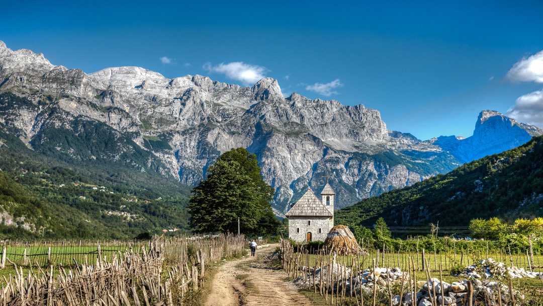
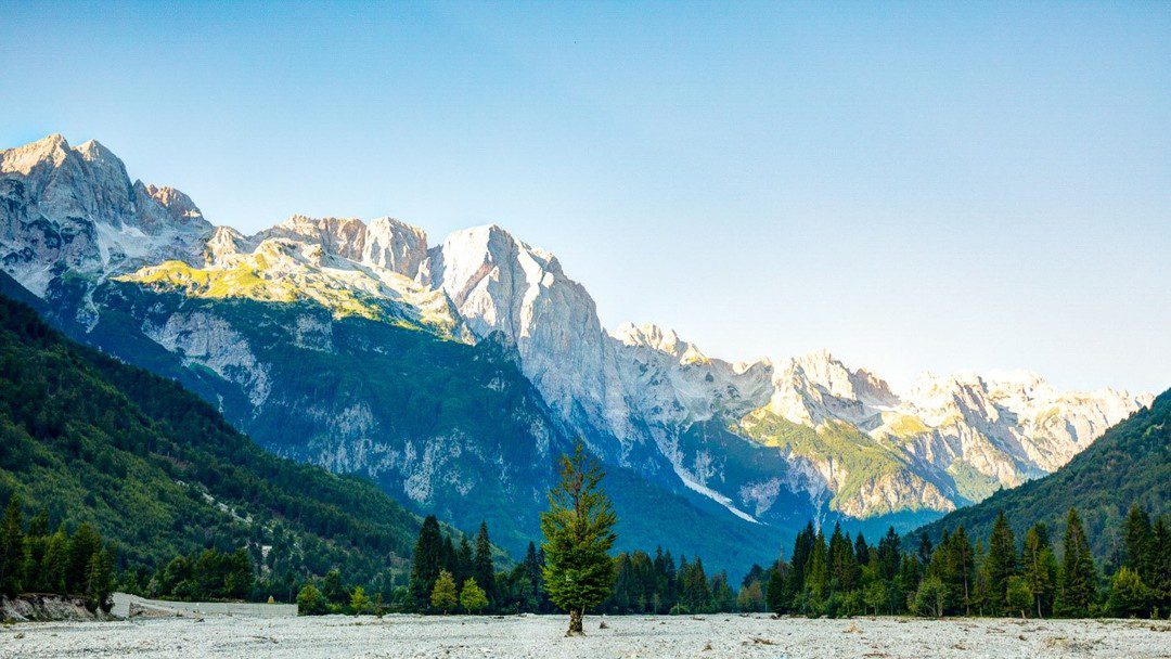
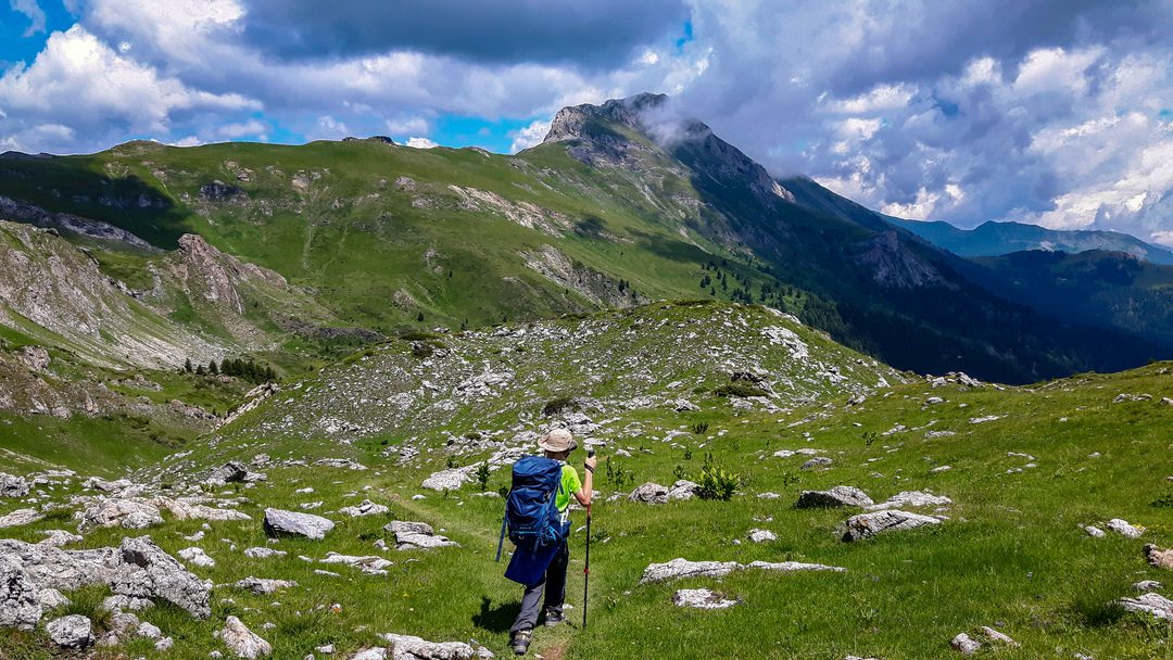
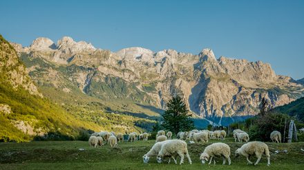
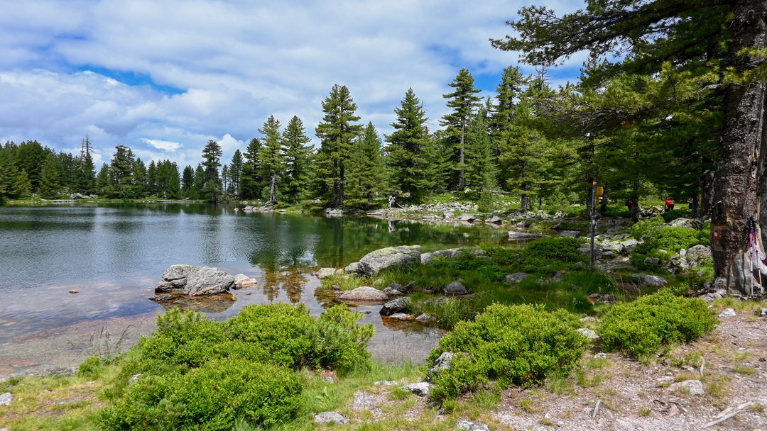
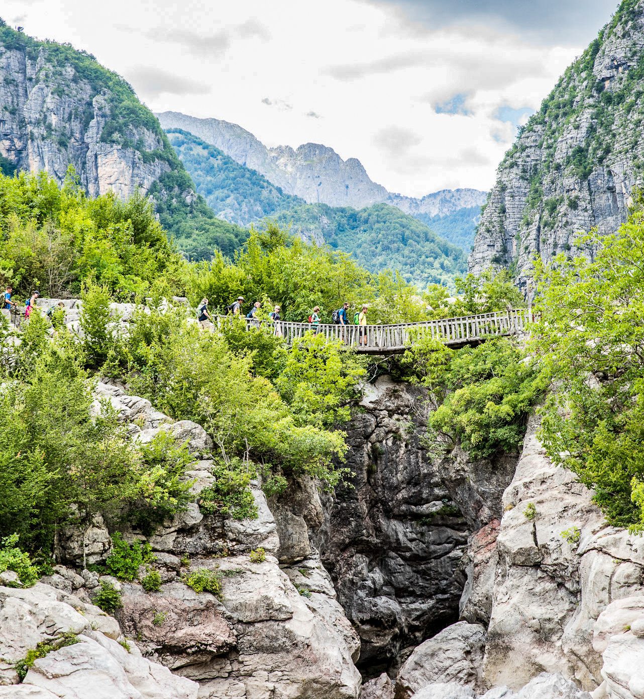
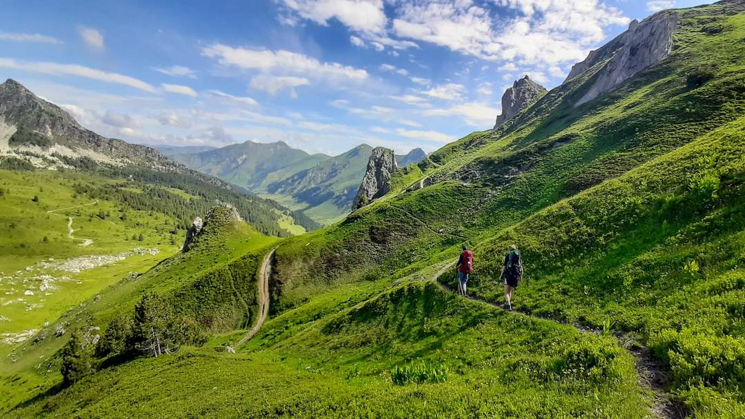
This is the first lengthy hiking trail to traverse the Western Balkans, an area where ancient tracks connect remote regions.
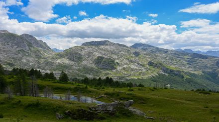
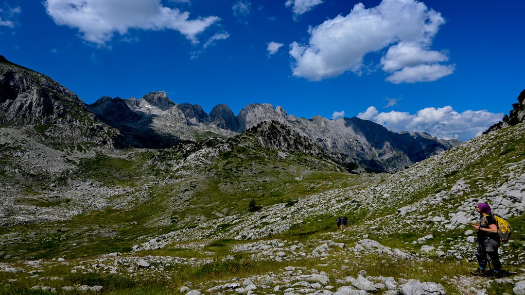
This 192km circuit will take you through the mountains of northern Albania, western Kosovo and south-eastern Montenegro. The ancient routes were cut during the cold war when tensions were high between Yugoslavia and Albania. The German Development Agency through a project to support the communities of these three countries restricted the trail and turned it into an amazing touristic offer. The route offers a diversity of landscapes and cultural experiences.
In this web site you will, for now, find the classic Peaks of the Balkans distances and our FAQ page about general questions. For hidden trails please do contact us.
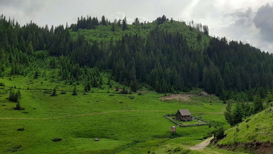
The level of difficulty ranges from easy to moderate, but requires good physical condition. To start your Peaks of the Balkans (POB) trail you can fly in three main Airports: Pristina, Tirana or Podgorica. Additionally a bit further you can use Skopje Macedonia and Nis. Time to the mountains also depends from border crossings.
Trail can be offered by the companies for guided, self-guided or you can join the open groups on every month of the season.
Theth, Albania – Valbonё, Albania
Trail distance: 13.9 kilometers
Elevation min: 745 meters max: 1,759 meters
Cumulative height uphill: 1,068 meters downhill: 792 meters
Difficulty level: Moderate
Time: 7 hours
Markings: white/red/white
Valbonё, Albania – Çerem, Albania
Trail distance: 19.8 kilometers
Elevation min: 670 meters max: 1,156 meters
Cumulative height uphill: 541 meters downhill: 382 meters
Difficulty level: Easy
Time: 7 hours
Markings: None
Çerem, Albania – Dobërdol, Albania
Trail distance: 15.64 kilometers
Elevation min: 1,152 meters max: 1,920 meters
Cumulative height uphill: 1,025 meters downhill: 440 meters
Difficulty level: Moderate
Time: 6 hours
Markings: white/red/white
Dobërdol, Albania – Milishevc, Kosovo
Trail distance: 18.2 kilometers
Elevation min: 1,534 meters max: 2,290 meters
Cumulative height uphill: 915 meters downhill: 980 meters
Difficulty level: Moderate
Time: 8-9 hours
Markings to the border: white/red/white,
from the border to Milishevc: red/white/red
Milisevc, Kosovo – Reka e Allagёs, Kosovo
Trail distance: 16.24 kilometers
Elevation min: 910 meters max: 2,136 meters
Cumulative height uphill: 863 meters downhill: 1,277 meters
Difficulty level: Moderate
Time: 8-9 hours
Markings: red/white/red
Reka e Allagёs, Kosovo – Pepaj, Kosovo – Drelaj
Trail distance: 23.26 kilometers
Elevation min: 1,072 meters max: 1,820 meters
Cumulative height uphill: 1,257 meters downhill: 1,139 meters
Difficulty level: Moderate
Time: 8-9 hours
Markings: red/white/red
Leqinat i Kuçishtёs (Guri i Kuq), Kosovo
Trail distance: 15.8 kilometers
Elevation min: 1,438 meters max: 2,276 meters
Cumulative height uphill: 1,151 meters downhill: 1,109 meters
Difficulty level: Moderate
Time: 7-8 hours
Markings to the border: red/white/red
from the border to Babino Polje: red circle/white fills
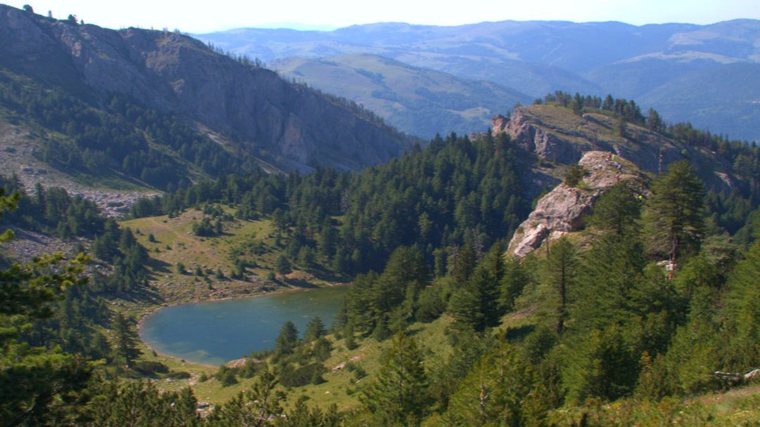
Babino Polje, Montenegro – Hrid lake Plav, Montenegro
Trail distance: 20.31 kilometers
Elevation min: 953 meters max: 2,068 meters
Cumulative height uphill: 719 meters downhill: 1,250 meters
Difficulty level: Moderate
Time: 7-8 hours
Markings: red circle/white fills
Plav, Montenegro –Bor Peak – Vusanje, Montenegro
Trail distance: 27.4 kilometers
Elevation min: 968 meters max: 2,106 meters
Difficulty level: Moderate
Time: 10 – 11 hours
Marking: red circle/white fill (to be completed before the season begins)
Vusanje (Vuthaj), Montenegro – Theth, Albania
Trail distance: 21.35 kilometers
Elevation min: 726 meters max: 1,748 meters
Accumulative height uphill: 1,111 meters downhill: 1,437 meters
Time: 8 hours
Difficulty level: Moderate
Markings to the border: red circle/white fills from the border to Theth: red/white/red
Theth - Nderlyse - Theth
Elevation min: 496m max: 784m
Accumulative height uphill: 266m
downhill: 435m
Difficulty level: Easy
Doberdol - Gjeravice - Doberdol
Uphill: 915m (3001ft)
Downhill: 915m (3001ft)
Minimal elevation: 1534m (5032ft)
Maximal elevation: 2650m (8694ft)