Peaks of the Balkans – Trail Guide
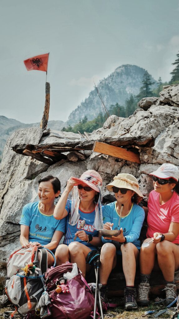
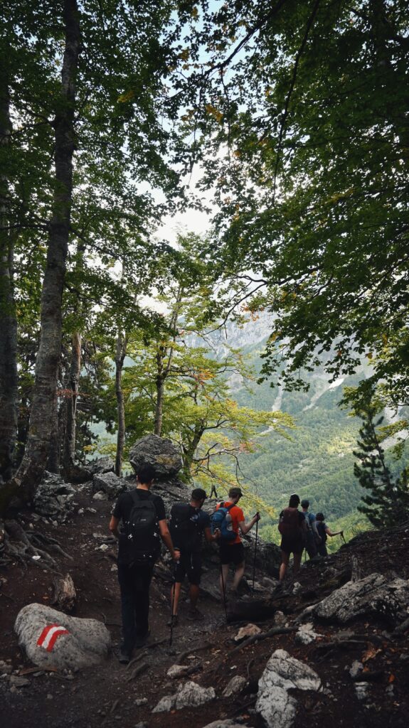
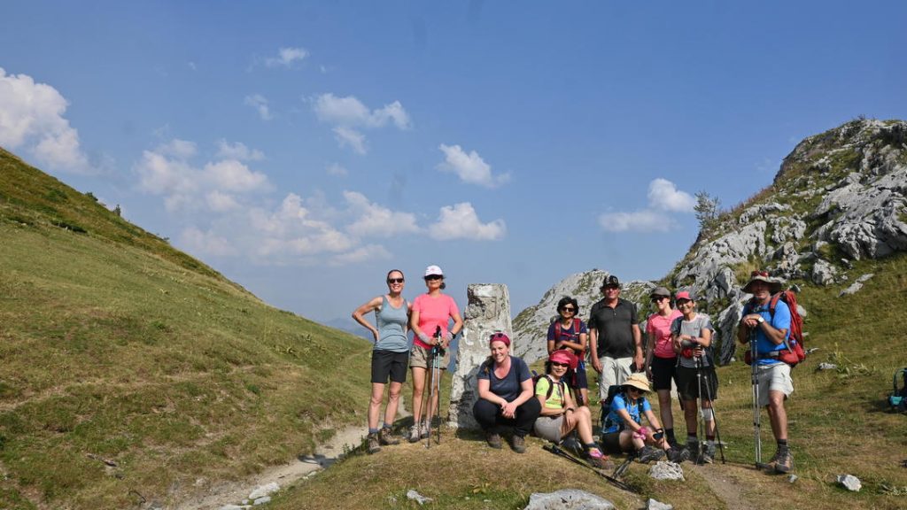
The Peaks of the Balkans trail is a 192-kilometer cross-border hiking route through the Accursed Mountains that connects Albania, Kosovo, and Montenegro.
This famous trekking route links remote mountain villages, alpine pastures, and dramatic high passes across three countries. If you are planning to hike the trail, this website provides practical resources including maps, GPS tracks, and detailed stage descriptions.
Trail Facts
- Total distance: 192 km
- Typical duration: 10 hiking days
- Countries: Albania – Kosovo – Montenegro
- Highest elevations: around 2,300 m
- Total ascent: about 9,800–10,000 m
- Best season: June – September
Planning Resources on This Website
- Peaks of the Balkans map and downloadable GPS tracks
- Information about border crossing permits
- Accommodation and guesthouses along the route
- Practical hiking advice and FAQs
- Guided Peaks of the Balkans tours
- Self-guided Peaks of the Balkans tours
- Peaks Of The Balkans Difficulty Detailed Peaks of the Balkans trail stages, scroll bellow
Trail Stages
Reka e Allages, Kosovo – Pepaj, Kosovo – Drelaj
moderate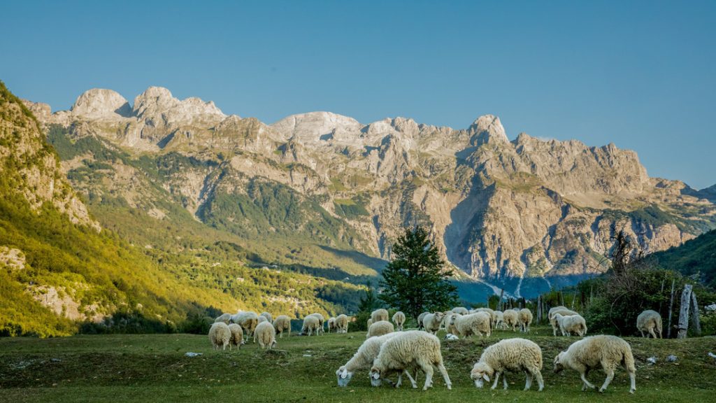
Doberdol – Gjeravice – Gacaferi Pastures
moderate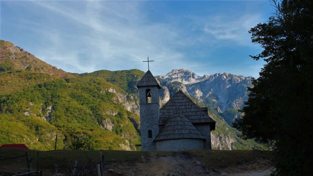
Theth – Nderlyse – Theth
easy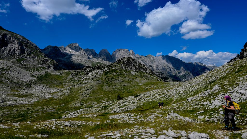
Vusanje (Vuthaj), Montenegro – Theth, Albania
moderate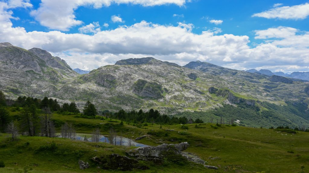
Plav, Montenegro –Bor Peak – Vusanje, Montenegro
moderate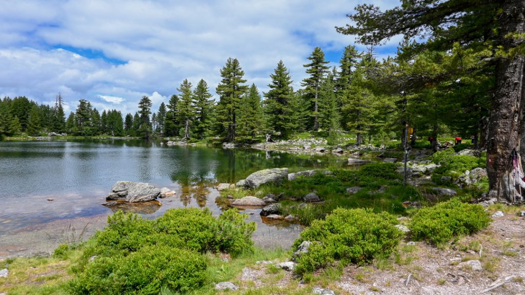
Babino Polje, Montenegro – Hrid lake Plav, Montenegro
moderate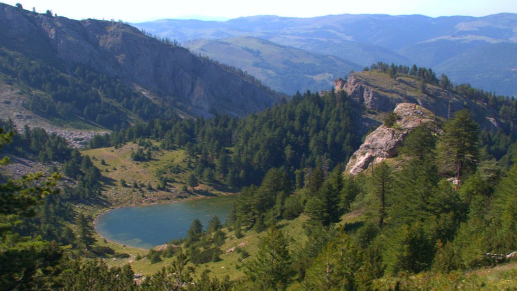
Liqenat i Kuqishtes (Guri i Kuq), Kosovo
moderate
Milisevc, Kosovo – Reka e Allages, Kosovo
moderate Doberdol, Albania – Milisevc, Kosovo
moderate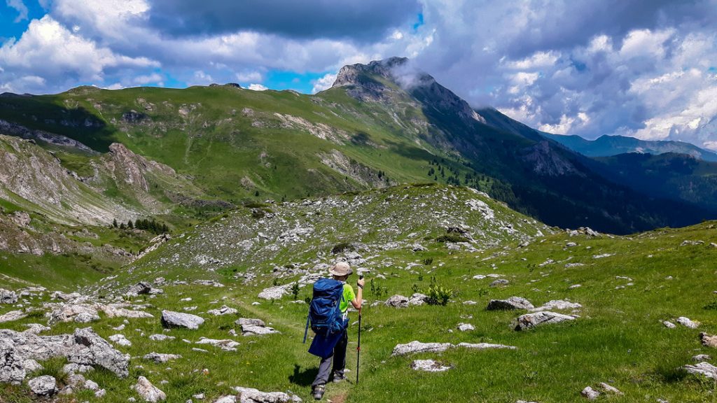
Cerem, Albania – Doberdol, Albania
moderate
Scheduled Dates
Check available tour dates and plan ahead
Self-Guided
Explore freely at your own pace
Accommodation
Carefully selected lodgings along the route
Border Permits
We assist with all required permits
FAQ
Answers to common traveler questions
Map
Interactive map with routes & highlights
Contact
Get in touch for custom requests
Blog
Stories, tips & travel inspiration
Ready to Hike?
Start your adventure with our guided, self-guided, or group trek options
Book Your Trek